Application of Geophones in Seismic Survey
Role of Geophones in Data Acquisition
Geophones serve as the fundamental sensing elements in land-based seismic surveys, converting ground motion into electrical signals that reflect subsurface geological structures. Their sensitivity to particle velocity makes them exceptionally suited for detecting reflected seismic waves generated by controlled energy sources such as vibrators, air guns, or explosives. When seismic energy travels through the earth and encounters changes in rock density or elastic properties, part of the energy is reflected back to the surface, where geophones capture these waves with high fidelity.
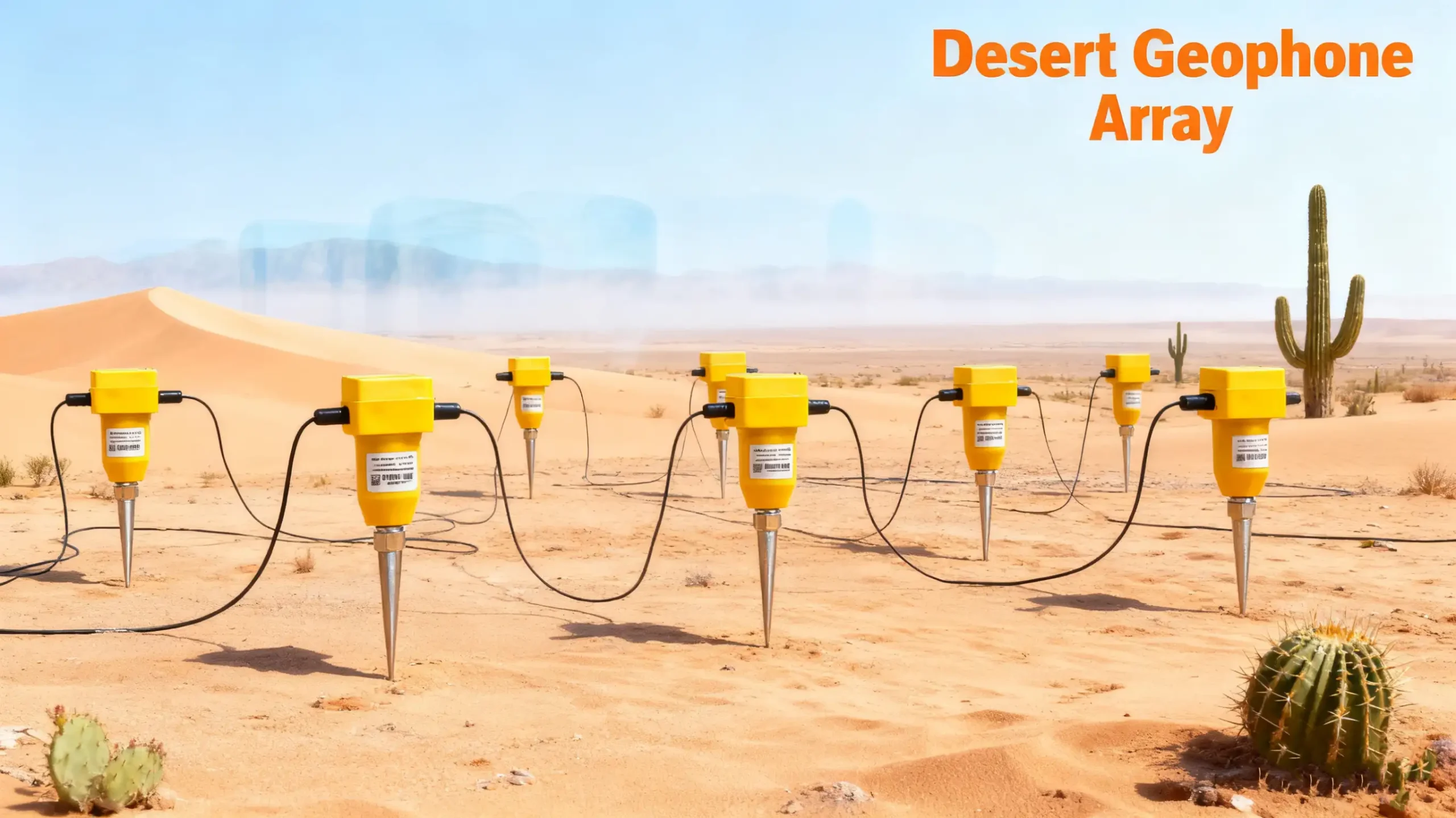
During a seismic survey, geophones are deployed in arrays or dense grids to enhance the quality of recorded signals. This arrangement improves the signal-to-noise ratio by stacking coherent seismic reflections while suppressing incoherent noise from wind, cultural activities, or environmental disturbances. The precise configuration of these arrays—whether linear, circular, or 3D spreads—depends on the target depth, survey objectives, and terrain conditions. Geophones must maintain consistent coupling with the ground to ensure accurate recording, often requiring specialized bases or spikes designed to match soil characteristics.
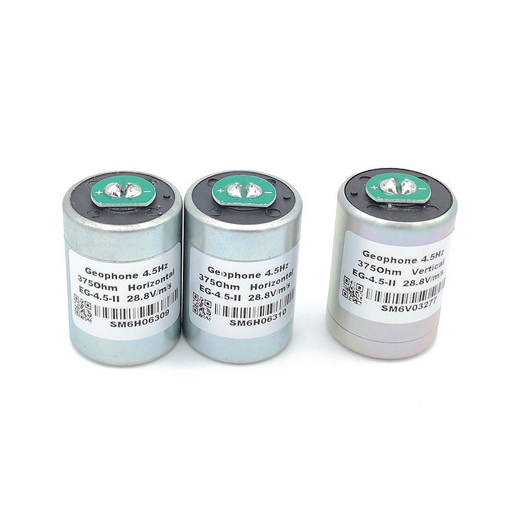
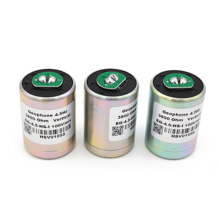
Once the geophones capture the seismic energy, the analog signals travel through cables or wireless units to a central recording system. Modern acquisition systems digitize the signals in real time, applying filters, time corrections, and quality checks to ensure uniformity across the entire array. The fidelity of the recorded waveform depends heavily on the geophone’s performance characteristics—natural frequency, damping factor, sensitivity, and distortion level—making proper sensor selection a critical step in survey planning.
Enhancing Subsurface Imaging Through Geophone Arrays
The ability of geophones to detect subtle variations in reflected seismic energy enables the creation of detailed subsurface images used in exploration geophysics. Multi-channel geophone data allow seismic processors to apply advanced algorithms such as velocity analysis, normal moveout correction, stacking, and migration. These processes transform the raw signals into interpretable seismic sections that reveal stratigraphic boundaries, fault systems, anticlines, and other geological features associated with hydrocarbon reservoirs or mineral deposits.
In 3D seismic surveys, thousands to tens of thousands of geophones operate simultaneously to capture reflections from every direction. This dense spatial sampling generates three-dimensional images with significantly higher resolution compared to traditional 2D surveys. Furthermore, 4D (time-lapse) seismic monitoring utilizes repeated geophone deployments to track changes within reservoirs over time. By comparing datasets acquired at different production stages, operators can observe fluid movements, pressure variations, and reservoir depletion, ultimately helping optimize well placement and production strategies.
Geophones are also crucial for shallow subsurface investigations used in engineering geophysics. For example, in near-surface surveys, closely spaced geophones detect high-frequency waves that reveal buried utilities, voids, shallow faults, or variations in soil stiffness. Applications extend to construction planning, landslide assessment, environmental studies, and tunnel detection. In each case, the proper deployment of geophones ensures that the recorded seismic data accurately represent the specific depth and resolution requirements of the project.
Specialized Applications and Advancements in Geophone Technology
Beyond traditional land surveys, geophones play a significant role in borehole seismic techniques such as Vertical Seismic Profiling (VSP) and crosswell tomography. Borehole geophones, engineered to withstand high pressure and temperature, are clamped against the borehole wall to record seismic waves traveling directly through the formation. These measurements provide high-resolution depth-velocity profiles that complement surface seismic data, reducing uncertainties in seismic interpretation and improving depth conversion accuracy.
Modern advancements have also introduced digital and smart geophones equipped with built-in digitizers, self-test functions, and improved noise immunity. These sensors streamline field deployment by eliminating long analog cables, reducing signal degradation, and improving synchronization across large arrays. Their wider dynamic range enables the detection of both strong direct arrivals and weak reflected signals, making them indispensable in high-density acquisition systems and next-generation survey designs.
In passive seismic monitoring and microseismic observation, ultra-low-frequency or broadband geophones detect naturally occurring or induced seismic events. These applications are essential in geothermal reservoir evaluation, carbon capture and storage monitoring, hydraulic fracturing analysis, and earthquake research. The ability of geophones to capture tiny seismic emissions in real time provides invaluable insight into fracture propagation, reservoir behavior, and long-term geomechanical stability.