What is a Geophone?
A geophone is an electromechanical vibration sensor designed to detect and measure ground motion. At its core, it operates on a moving-coil principle, where a magnet and a suspended coil interact under the influence of seismic vibrations. When the ground moves, the inertial mass inside the geophone remains momentarily stationary, causing relative motion between the coil and the magnetic field. This motion induces a voltage proportional to ground velocity, making the geophone a precise and reliable transducer for seismic applications.
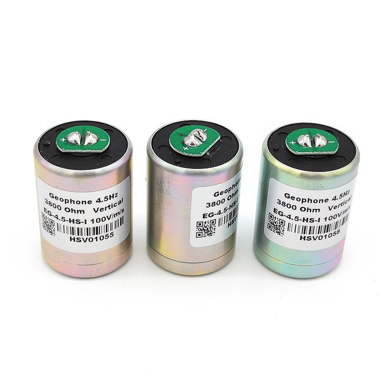
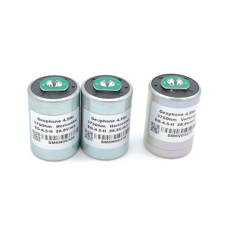
Because geophones output a voltage that corresponds to particle velocity rather than acceleration or displacement, they provide exceptionally accurate data for seismic exploration. Their natural frequency—commonly 4.5 Hz, 10 Hz, or 14 Hz—determines the geophone’s sensitivity to different vibration ranges. Lower-frequency models, such as EG-4.5-II Geophone 4.5 Hz units, are commonly used in oil and gas exploration and geotechnical surveys because they can capture deeper and lower-frequency seismic waves. Higher-frequency units are often preferred for engineering applications or shallow subsurface imaging.
The simplicity of the moving-coil mechanism makes geophones stable, energy-efficient, and highly robust in harsh environments. Unlike digital accelerometers, geophones do not require power for sensing; they only need minimal power for data acquisition systems. This passive nature contributes to their reliability in remote field operations and long-duration seismic monitoring projects.
Applications of Geophones in Seismic Exploration
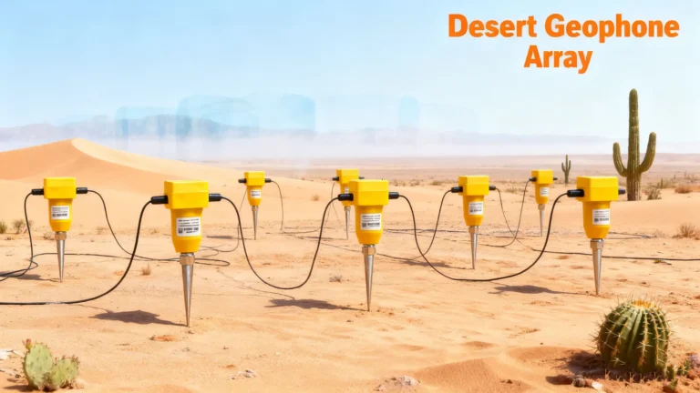
Geophones play a central role in seismic exploration, where they form arrays or grids that record ground vibrations produced by controlled sources such as vibrators, explosives, or mechanical impactors. By capturing the returning seismic waves reflected from underground layers, geophones help researchers and engineers construct detailed images of the Earth’s subsurface. These images allow exploration teams to identify geological structures, fault zones, stratigraphic boundaries, and potential hydrocarbon reservoirs.
In modern multi-channel seismic surveys, hundreds to thousands of geophones are deployed simultaneously. Their combined data are processed to improve signal-to-noise ratio and to eliminate unwanted vibrations from cultural noise or environmental interference. The accuracy and uniformity of geophone arrays are essential for generating reliable seismic sections, especially in deep hydrocarbon exploration where subtle wave reflections must be captured. Geophones also support 3D and 4D seismic surveys, enabling detailed visualization of reservoirs over time and helping operators improve drilling decisions and production strategies.
Beyond oil and gas exploration, geophones are widely used in engineering geophysics for foundation assessment, tunnel detection, mineral exploration, permafrost studies, and environmental monitoring. They are also essential in earthquake research and microseismic monitoring, helping scientists detect small-scale seismic events that provide insight into subsurface processes such as fault movement, geothermal reservoir behavior, and hydraulic fracturing responses.
Types of Geophones and Their Characteristics
Geophones come in several designs tailored to specific applications. The most common is the traditional moving-coil geophone, valued for its stability, low noise, and predictable frequency response. These units are available in single-axis or three-component configurations. Single-axis geophones measure vertical or horizontal motion, while three-component geophones capture motion in all spatial directions, providing deeper insight into wave propagation characteristics and subsurface anisotropy.
Digital geophones or “smart sensors” integrate built-in analog-to-digital conversion and self-test functions. They offer higher dynamic range, improved noise immunity, and simplified data acquisition—particularly valuable in large-scale land seismic surveys. Optical geophones, though less common, use laser interferometry to capture minute vibrations with ultra-high sensitivity, making them suitable for scientific research and borehole monitoring.
Specialized geophones are also engineered to perform in extreme environments. Borehole geophones withstand high pressures and elevated temperatures, allowing deep downhole measurements. Marsh or swamp geophones are designed for soft terrain and water-saturated environments. Ultra-low-frequency geophones, sometimes paired with damping electronics, improve sensitivity in passive surveys such as ambient noise tomography or long-period monitoring.